How The Working Waterfront Shapes Kennebunkport Homes
June 18, 2026
June 18, 2026
If you picture Kennebunkport’s waterfront as a row of purely scenic homes, you miss what makes this place so distinct. Here, the shoreline is still a place of work, history, and daily rhythm, and that reality shapes how nearby homes look, feel, and function. If you are buying, selling, or simply trying to understand the local market, it helps to see how the working waterfront influences property character and value. Let’s dive in.
Kennebunkport’s waterfront is not just a backdrop. Town planning materials describe it as a core part of the local economy and identity, with active marine uses that continue to shape the community.
In 2020, the Kennebunk River was home port to two dozen commercial fishing boats. Cape Porpoise supported about 40 to 50 commercial fishing vessels and roughly 80 to 120 local jobs tied to the fishery. The harbor also supports party fishing, whale-watch, eco-excursion, lobster-cruise, and charter-fishing boats, which adds even more activity to the shoreline.
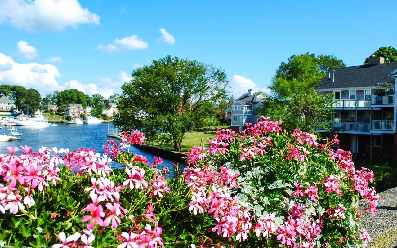
That matters when you think about homes near the water. In Kennebunkport, a harbor view often means you are looking at a place where people still launch, unload, commute, and work by the tide.
A working waterfront creates a different kind of coastal living than a purely resort-driven shoreline. You may get beautiful views of boats, piers, islands, and river traffic, but you are also living near an active marine setting with practical uses and changing seasonal patterns.
The town’s planning process has treated waterfront access, development patterns, and rising sea levels as major issues. Cape Porpoise Pier and Government Wharf are identified as important parts of the town’s working-waterfront character, which shows how closely the built environment and marine economy are linked.
For homeowners, this means the waterfront experience is layered. It is scenic, but it is also functional, and that mix is part of what gives Kennebunkport homes their local identity.
One of the most important details for buyers is that waterfront access in Kennebunkport is not broad or continuous. It tends to happen at specific points rather than along one open public edge.
The town’s marine resources materials say there are no public launch ramps in Kennebunkport. Kayaks may be launched off Pier Road only when the tide is high enough, and Cape Porpoise Harbor has no public berths.
The Grist Mill property provides one of the few public access points to the Kennebunk River for kayaks, paddleboards, and canoes. That tells you something important about nearby homes: proximity to water does not always mean easy, direct, or flexible access.
If you want the clearest expression of Kennebunkport’s working waterfront, Cape Porpoise is it. This area carries a long maritime history and still reads as a harbor village shaped by commercial use.
The Maine Historic Preservation Commission notes that Cape Porpoise was first settled in 1653. Today, Goat Island Lighthouse remains a landmark in the harbor, and the Kennebunkport Conservation Trust says 12 harbor islands there have been permanently protected.
For homes in Cape Porpoise, that setting often creates a strong sense of place. You are not just near the coast. You are near a harbor with fishing activity, protected islands, and a visible connection between land, water, and local livelihood.
Kennebunkport village and the riverfront tell a different story. Here, the mood is less about a harbor village and more about a historic town center with maritime roots.
The Kennebunkport Historic District lies east of the Kennebunk River and centers around Spring Street, Main Street, and School Street. It includes more than 175 historic structures, with at least a third dating to the early nineteenth century.
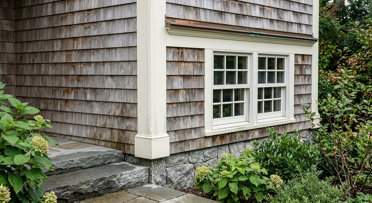
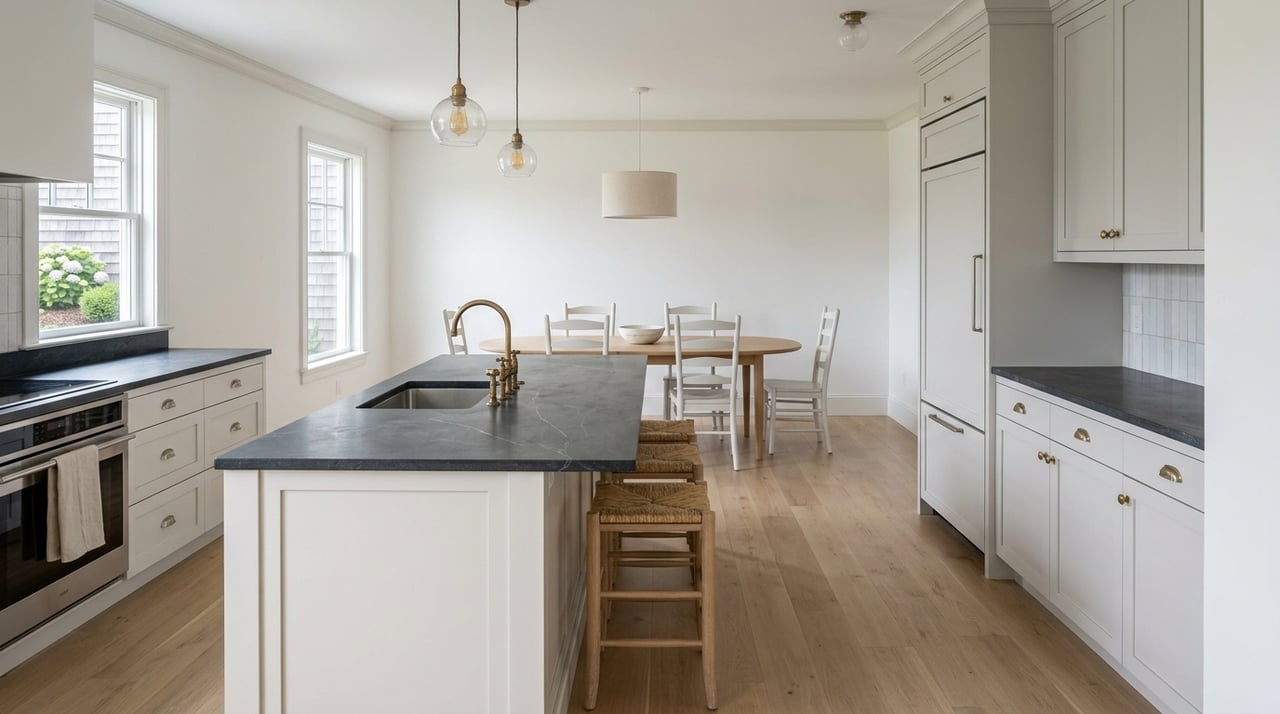
Many of these buildings are wood-framed with clapboard or wood shingle siding. For buyers and sellers, that helps explain why homes in and around the village often feel tied to older New England building traditions rather than a newer resort style.
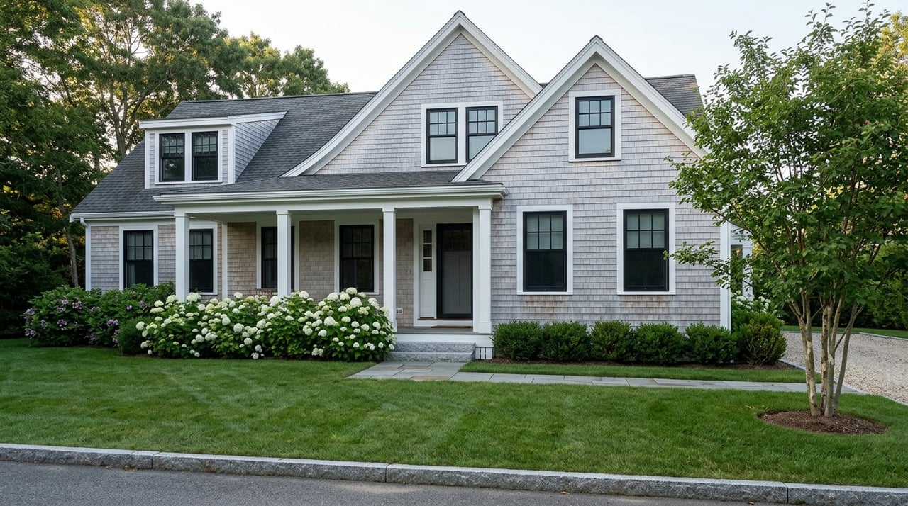
Cape Arundel presents yet another waterfront expression. Its history is closely tied to summer-resort planning that began in the 1870s, with roads, parks, house lots, and hotel sites laid out above the ocean.
The Cape Arundel Summer Colony Historic District is especially associated with late nineteenth-century Shingle Style cottages. Historic materials describe asymmetrical massing, shingled surfaces, open plans, and stone used in foundations, chimneys, and piazzas.
That design language still matters in the market today. Homes in this area often carry a strong sense of architectural provenance, and the setting suggests that views, wind exposure, and landscape relationships were always part of the design conversation.
Goose Rocks Beach has a different character from the harbor and village areas. The town describes it as a two-mile beach, and the surrounding setting feels more open and recreation-oriented.
That does not mean it is disconnected from the larger waterfront story. It simply expresses it in a different way, with more emphasis on the outer shore and beach environment than on piers, fishing vessels, or village density.
For homeowners, this can mean a different daily experience. The visual appeal is often broader and more open, while the home style and site relationship may feel more beach-oriented.
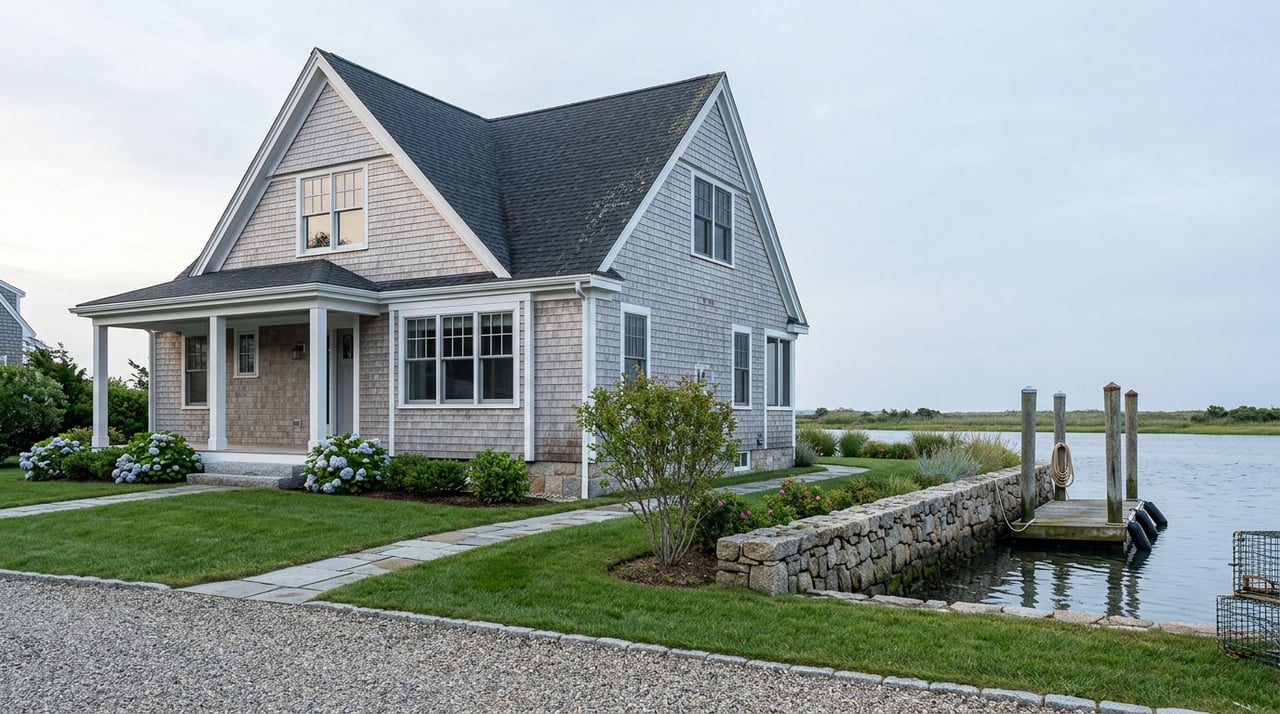
One of the most interesting parts of Kennebunkport real estate is that the waterfront does not create one single coastal look. Instead, it produces a range of home styles tied to local history and geography.
In the village core, Federal-style houses and other early nineteenth-century wood-framed buildings set the tone. In Cape Arundel, Shingle Style cottages and other summer-colony forms dominate the historic narrative.
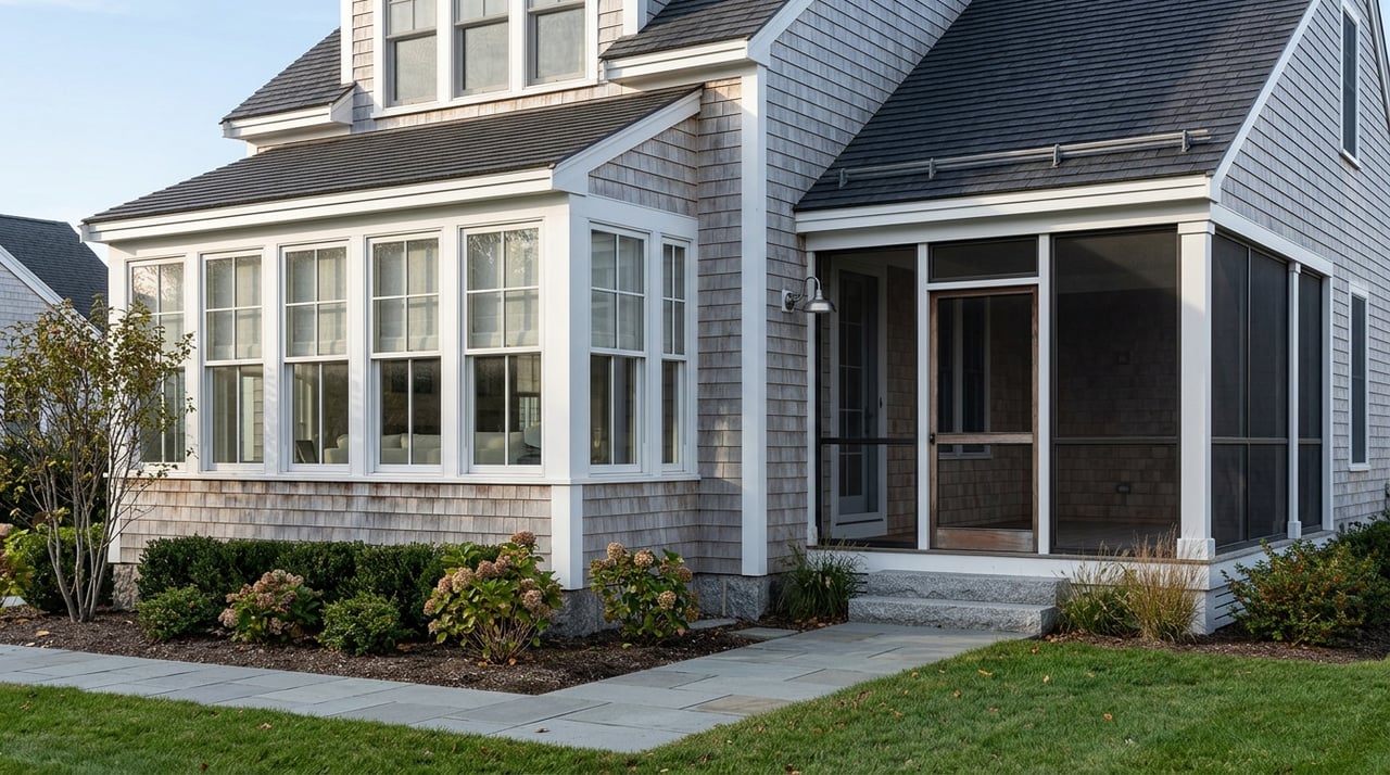
Near Goose Rocks Beach and Cape Porpoise, you are more likely to see modest cottages or beach-oriented houses mixed into the waterfront setting. Across these areas, wood siding, shingles, and a relatively low-profile architectural language remain a strong local theme.
The waterfront also shapes homes through exposure and siting. Historic materials on Cape Arundel note later low-profile houses set back from the road and partly hidden by landscaping, which suggests that formal street presence was not the only priority.
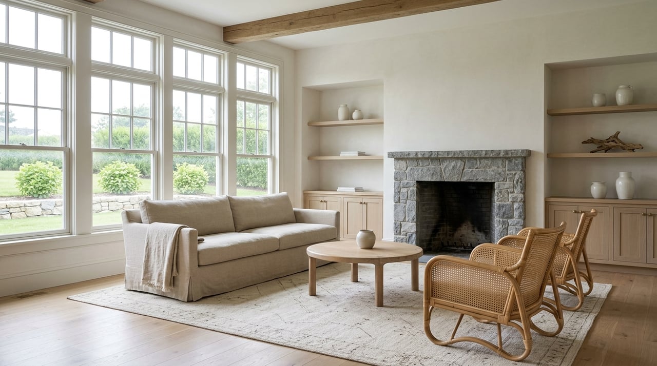
Views, wind, and a softer relationship to the land also matter. In a coastal market like Kennebunkport, that can influence how a home is positioned, screened, and experienced from both inside and outside.
For buyers, this is a useful reminder that layout and placement can be just as important as square footage. For sellers, these details can be part of what gives a property its character and value story.
Living near the water in Kennebunkport often means paying attention to the tide. This is true for both working and recreational use.
Goat Island Lighthouse can be reached by boat only at high tide and about one to two hours on either side. Kayaking from Pier Road also depends on adequate tide levels.
That creates a waterfront rhythm that feels real and local. It is not built around constant access or a continuous promenade. It is shaped by the conditions of the coast itself.
Seasonality is another part of the picture. The town’s economy chapter says the high season is busier than ever, and the busy period can stretch through Christmas Prelude.
Town planning materials also note that roads with water views are often lined with parked sightseers’ cars. For homes near scenic corridors, that can mean a mix of benefits and tradeoffs, including strong visual appeal along with more traffic, visibility, and less privacy during peak months.
This does not make one location better than another. It simply means the lifestyle varies by setting, and understanding that pattern is part of making a smart move.
Kennebunkport’s waterfront story also includes long-term planning. The town’s comprehensive-plan process addresses rising sea levels, and the plan site cites a projection of 1.5 feet of sea level rise by 2050 under an intermediate scenario.
That makes resilience part of the local conversation around waterfront property. Buyers and sellers alike benefit from looking beyond the view and thinking about site conditions, long-term stewardship, and how a property fits into the town’s coastal future.
This is where local market knowledge matters. Understanding a home’s history, setting, and physical relationship to the shoreline can help you see both its lifestyle appeal and its practical considerations.
In Kennebunkport, waterfront value is about more than distance to the ocean. It is shaped by the kind of waterfront nearby, the home’s architectural context, the level of access, and the balance between scenery and activity.
A riverfront property near the village, a harbor-facing home in Cape Porpoise, a Shingle Style residence in Cape Arundel, and a beach-oriented home near Goose Rocks may all be coastal, but they offer very different experiences. That distinction matters when pricing a property, evaluating long-term fit, or planning updates.
If you are buying or selling here, it helps to work with someone who can read those details clearly. The story of a waterfront home is often found in its setting, its construction, and the way it fits into Kennebunkport’s larger coastal identity.
Whether you are comparing neighborhoods, preparing a home for market, or weighing renovation potential, local context makes a difference. For tailored guidance on Kennebunkport waterfront and coastal properties, connect with Marika Clark.


Marika Alexis Clark brings unmatched insight, care, and dedication to every home journey. Whether buying, selling, or simply exploring possibilities, her integrity and passion ensure you feel confident every step of the way.