Leave a Message

Thank you for your message. I will be in touch with you shortly.

Littoral Rights Explained For Kennebunkport Buyers

November 21, 2025

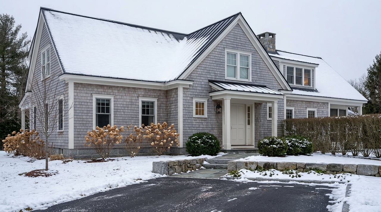
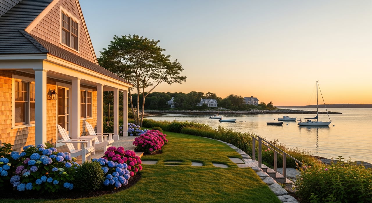
Buying a home on the water in Kennebunkport is a dream. You picture coffee at sunrise, sand underfoot, and an easy path to the shore. Then you hear about littoral rights and the mean high‑water mark and wonder what it all means for your purchase. This guide breaks down the essentials in plain language so you can move forward with confidence and avoid surprises. Let’s dive in.

Littoral rights basics

Littoral vs. riparian rights

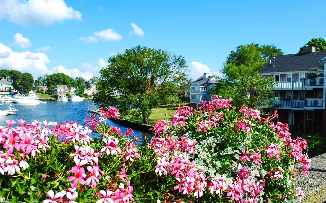
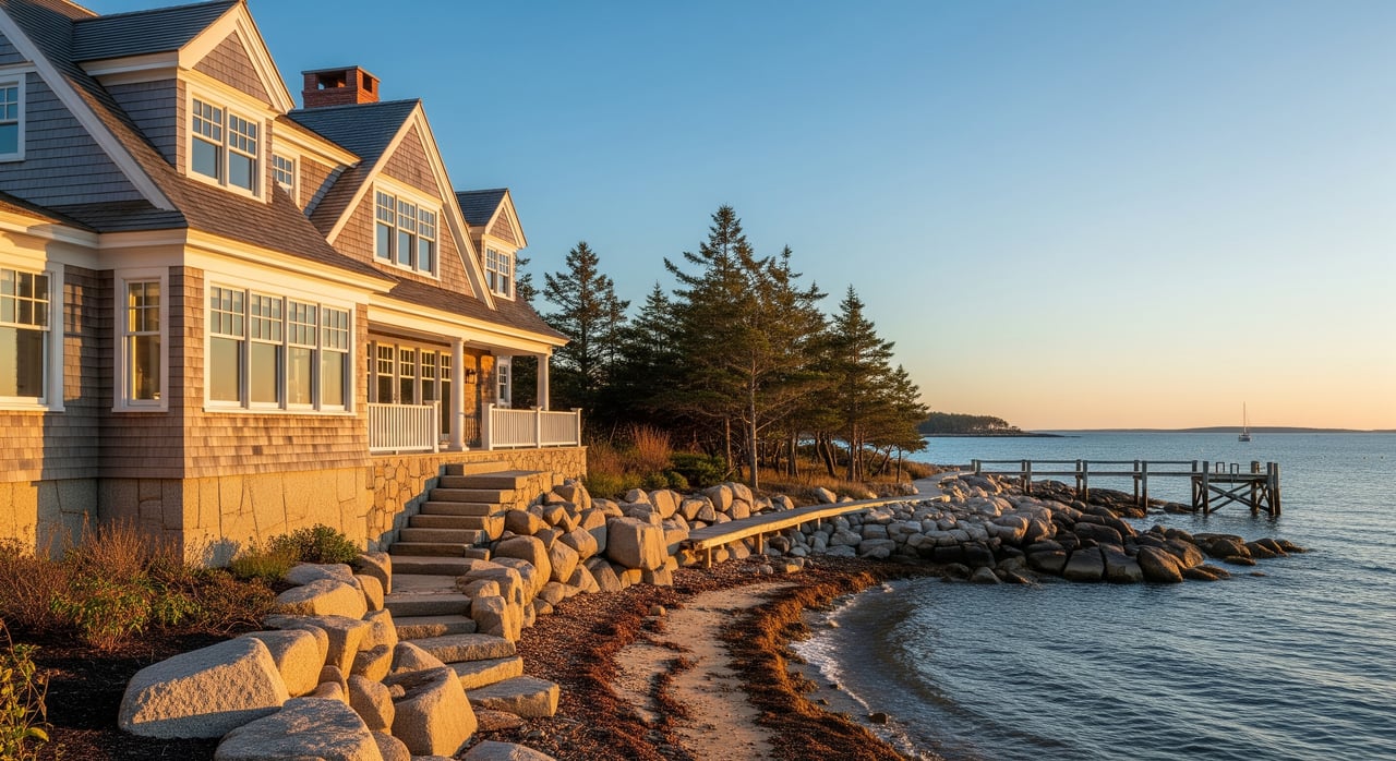
Littoral rights apply to properties that touch tidal waters and the ocean. In Kennebunkport, that includes coastlines like Goose Rocks Beach and Cape Porpoise. Riparian rights apply to non‑tidal rivers and streams. The difference matters because rules for boundaries, use, and access are not the same.

Mean high‑water mark

The mean high‑water mark, or MHWM, is the average of all high tides over a long period. It often marks the boundary between private upland and the intertidal zone. A licensed coastal surveyor determines the MHWM using tidal data and on‑site measurements. Visual cues like a vegetation line can help, but a proper survey provides the defensible line.

Public trust and the foreshore

Many coastal states recognize public trust rights in submerged lands and the intertidal zone. The exact scope in Maine comes from state law and court decisions. The practical takeaway is that public presence on parts of the beach does not automatically erase private rights, and private ownership of upland does not guarantee control of all seaward areas. When in doubt, confirm the facts with local records and professionals.

Shoreline change terms

Coasts move over time. Accretion adds land gradually as sand builds up. Reliction exposes land as water recedes. Erosion removes land gradually, while avulsion is a sudden change from a storm or flood. These shifts can affect lot size, setbacks, and structures. Knowing which process is at play helps you plan for the long term.

Maine and Kennebunkport framework

Who regulates what

Coastal activity is governed by both state and town rules. State agencies typically review shoreland impacts, dunes and wetlands, and marine resource issues. The Town of Kennebunkport sets shoreland zoning, setbacks, and building permits, and also manages public beach access, parking, and seasonal rules. For boats and dockage, the harbor master oversees moorings and harbor use.

Deeds and recorded rights

Your deed tells you where your rights begin and end. The York County Registry of Deeds holds deeds, subdivision plans, and easements. If a path to the beach is used by many people, it may still be private unless an easement is recorded or a right has been established over time. A full title search will clarify what exists.

Harbor and mooring rules

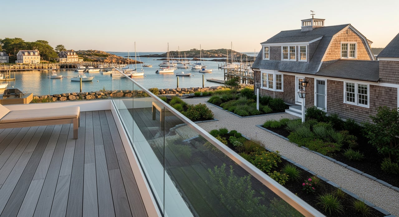
Cape Porpoise is a working harbor. If you want a mooring or are considering a dock, speak with the harbor master early. Rules, waitlists, and site limits can shape what is possible on the water in front of your home.

Due diligence for buyers

Your professional team

  • Licensed coastal or land surveyor to locate the MHWM and show it on a plan.
  • Real‑estate attorney or title company experienced with Maine coastal property.
  • Coastal engineer or geologist for erosion or seawall questions.
  • Local builder familiar with shoreland standards and permitting.
  • Insurance agent who places coastal flood and wind coverage.

Title and deed review

  • Order a current title report and read the deed carefully.
  • Look for language such as “to the waterline” and any rights reserved.
  • Search for recorded public or private easements and conservation restrictions.
  • Review any beach association bylaws if the property is in an association.

Survey and MHWM mapping

  • Have a surveyor mark the MHWM using the correct tidal datum.
  • Ask the survey to show distances from the MHWM to structures and septic.
  • Use this plan to confirm setbacks and potential for additions or new work.

Public access and parking

  • Identify whether nearby beach access points are town‑owned or private with easements.
  • Confirm where legal access and parking are allowed during peak season.
  • Remember that a “public” intertidal area may not be reachable from your land without a legal access route.

Permits and compliance history

  • Request copies of permits for seawalls, riprap, docks, and other shoreline work.
  • Check for any enforcement actions or open compliance issues.
  • If you plan changes, confirm which permits you will need at the town and state levels.

Flood, erosion, and insurance

  • Review flood maps and elevation data to understand base flood elevation.
  • Ask about shoreline change history and erosion risk for the specific lot.
  • Price wind and flood insurance early to avoid budget surprises.

Associations and services

  • If a private beach association exists, read bylaws, fees, and rules.
  • Confirm municipal services and seasonal regulations for the immediate area.
  • Understand how parking, trash, and beach rules operate through the summer.

Planning improvements

  • Before closing, test your plans against setbacks, lot coverage, and septic needs.
  • For docks or moorings, coordinate with the harbor master and the town.
  • Expect stronger review for new hard shoreline protections like seawalls.

Kennebunkport shoreline nuances

Goose Rocks Beach

Goose Rocks is a long sandy beach. Sandy coastlines can shift through accretion and erosion, which may affect access points and dune stability over time. If you plan renovations or additions, the MHWM location and any dune protections will guide what is possible.

Cape Porpoise Harbor

Cape Porpoise has tidal flats, rocky ledges, and active marine uses. These areas often layer private ownership with working waterfront activity. Expect specific rules for moorings, docking, and navigation, and plan for seasonal sound and boat traffic.

Septic and coastal builds

Homes near tidal water often face strict septic and shoreland rules. Replacement areas, setbacks from the MHWM, and resource protections can shape your building envelope. A survey and early permitting check will save time and money.

Common scenarios and smart answers

  • Do you “own the beach” in front of the home? The deed and the MHWM survey are the only reliable guides. Even then, parts of the intertidal zone may be subject to public trust rights.
  • Can you add a dock or a seawall? Possibly, but these projects require careful review and multiple permits. Start with the harbor master and the town to understand feasibility.
  • Is beach use by the public always allowed? Visual use does not prove public ownership. Verify recorded easements and local rules before assuming access.

Buying well on the coast is about clarity. When you pair a precise survey with a complete title review and a practical permitting plan, you protect your lifestyle and your investment. If you want a seasoned local advisor who understands beaches, harbors, construction, and value, reach out to Marika Clark for a private consultation.

FAQs

What are littoral rights in Kennebunkport?

  • Littoral rights are the rights tied to property on tidal waters, including how your upland meets the intertidal zone and what boundaries and uses apply along the shore.

How is the mean high‑water mark determined in Maine?

  • A licensed surveyor uses official tidal datums and site measurements to locate the MHWM and show it on a survey; visual lines alone are not definitive.

Does owning a beachfront lot include the beach area?

  • Only your deed and a MHWM survey can answer; parts of the intertidal zone may be subject to public trust rights regardless of upland ownership.

Can you build a dock or seawall in Kennebunkport?

  • It depends on site conditions and permits; expect town and state review, and start early with the harbor master and shoreland zoning office.

How do erosion and accretion affect property lines?

  • Gradual change can add or subtract land over time, while sudden change is treated differently; impacts vary and should be evaluated by your surveyor and attorney.

What insurance do oceanfront owners in Maine need?

  • Most buyers review flood and wind coverage, and some consider private flood or coastal endorsements based on elevation and exposure.

How do you verify public beach access near a home?

  • Check recorded easements and town maps, confirm legal parking, and do not assume that a well‑used path or shoreline is public without records.

Your Trusted Agent, Ready to Help

Marika Alexis Clark brings unmatched insight, care, and dedication to every home journey. Whether buying, selling, or simply exploring possibilities, her integrity and passion ensure you feel confident every step of the way.